


Education & Research
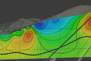
Blender3D: Free and powerful 3D software for geology and mining modeling
3D modeling is an enormously useful method for investigating relationships among surface and subsurface data, and searching for new valuable insights. From shovel to mine, geology to geochemistry and geophysics, visualizing the correlations among data Read more…