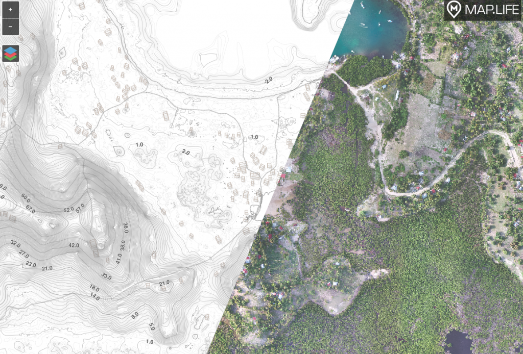
High Resolution Images, Maps & Video
- 2 cm -25cm / pixel resolution
- +/- 2cm accuracy
- 3-5 sq miles/day
- Ground Control Points
- Exploration, Mining, Agriculture, Construction, Real Estate
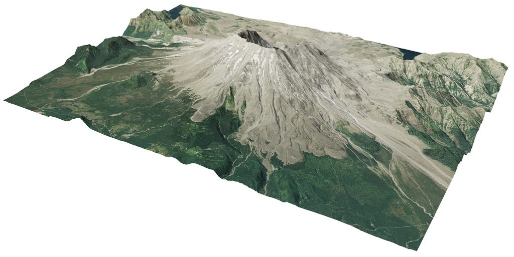
Digital Terrain Models, Elevation Models, Contour Elevation Surveys
- 3-5 sq miles / day
- 2cm – 25cm resolution
- Agriculture, Mining, Civil Engineering, Architecture & Municipal Planning
Everything relies on precise elevation and location data. Whether you are searching for historic trenches, monitoring stock piles, performing surface calculations on vacant lots, let us help you with the best possible foundation for your work.
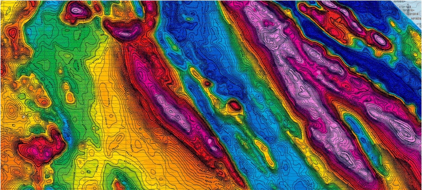
Magnetic Anomaly Survey and Structural Mapping
- 25cm – 10m resolution
- 60 line km/day
- High Sensitivity
- Range: 15K-120K nT
- Mineral Exploration, Structural Geology & Civil Engineering
Drone magnetics are an excellent method of geophysical survey that provides insight into the shallow or deep dynamics of the earth. Drone-based methods save time and money over traditional ground and backpack-based systems.
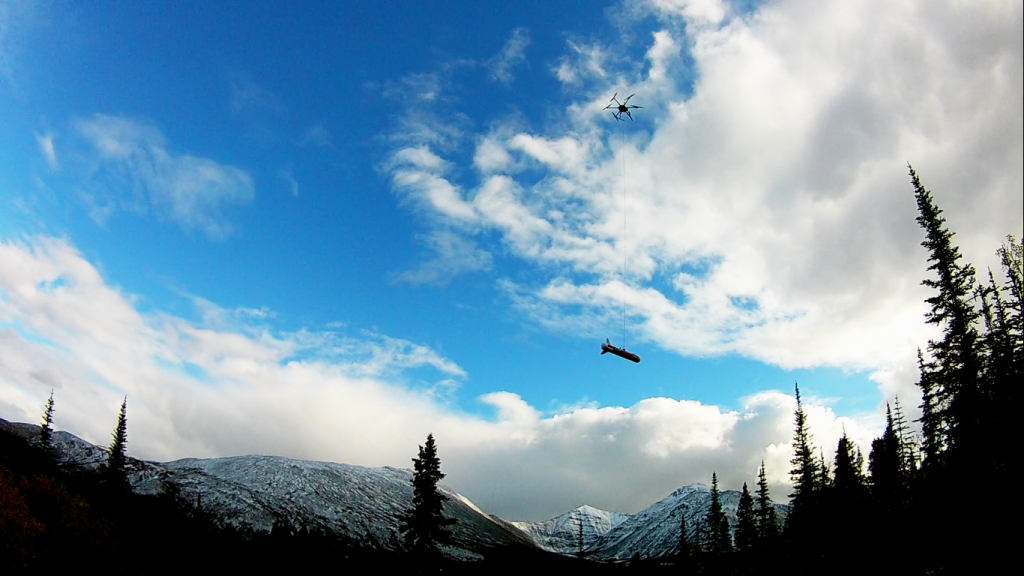
VLF Survey
- 1m – 10m resolution
- 60 line km/day
- High sensitivity
- Mineral Exploration, Structural Geology
Drone VLF measures the deflection- or ripples- of low frequency radio transmissions travelling through the earth when they interact with conductors like faults or bodies of mineralization. This is an excellent method of geophysics survey for mapping out faults, geologic contacts, shear zones, and mineral lodes.