Public Outreach
Find us @ AME’s Virtual ROUNDUP!
This year we're going virtual. Come say hi at our digital booth, AME's Roundup Conference Jan 18-21.
See the unseen.
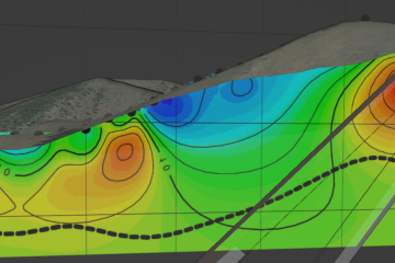
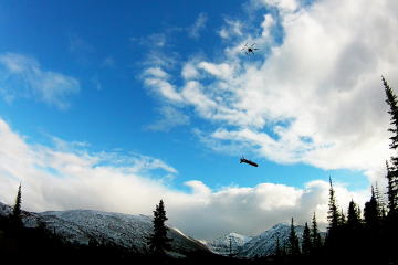
Drone-based aerial, elevation and geophysical surveys unlock the full potential of your land at lower cost and higher resolution.
The best discoveries are found in the field.
Our geological consultants specialize in difficult terrain, mineral and structural mapping, historic mine site surveying, soil grids, drill programs, core logging, claim staking and GIS... all NI 43-101 certified.
Leveraging machine learning and big data for insight.
Our automated machine learning system scrapes, compiles and analyzes your and a world-wide assimilation of mining data to provide exploration opportunities and insights.
"Efficient and professional team with great services. Cannot recommend highly enough."
This year we're going virtual. Come say hi at our digital booth, AME's Roundup Conference Jan 18-21.
So, you have located a mining claim, put your stake in the ground, now what? We have put together a step-by-step guide to successfully file a mining claim within the county and state the claim is located in.
Ethos Geological recently performed a drone survey for a company covering a large area of interest in Haiti. From high winds to sunburns and beautiful white sand beaches, this project tested our faculties in many Read more…