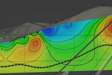
What is GIS? “Geographic Information System”- a system of managing geospatial data. No longer just desktop software, leverage the power of the cloud, coding, and open source software to scale GIS data!
Why is GIS stuck in the dark ages? Because GIS has been taught / used by millions of people through ArcGIS, created by ESRI. While this software was great and helping GIS evolve- the company has become limited by size, vision, and requirements of backward compatibility with itself.
It’s time for change. Evolution. Code + cloud, single source, collaborative GIS at scale. It’s so easy! Here’s a preview:


